-
by admin
- Marzo 11, 2020
- 0 Comments
map of Salina
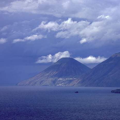
After Lipari it is the second largest island, approximately 27 km square. It is the highest, with its mountain peaks “Fossa delle Felci” and “Fossa dei Porri”, both inactive volcanoes.
From these two mountains derives its ancient name Didyme, meaning twins. Its present name derives from a small lake, from which salt was extracted (and then used for caper and fish preservation).
It is also the second most populated island after Lipari, it has approximately 2300 inhabitants.
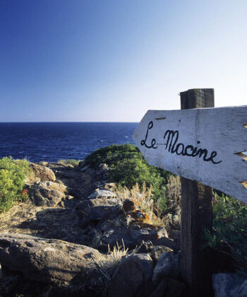
The island is divided between the autonomous towns: S. Marina, Malfa and Leni. The hamlets are: Lingua, Rinella, Val di Chiesa, Pollara and Torricella.
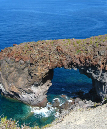
Salina is composed of six volcanoes. The most ancient, located at Pizzo di Corvo, Monte Rivi and near Capo Faro, broke away over thousands of years, while the stratified twin volcanoes Fossa delle Felci and Monte dei Porri still retain their perfect conical shape.
In various places on the island you can see traces of post volcanic activity like the phenomenon named “sconcassi”, near Rinella which are powerful underwater gas and steam emissions. This emission, when stronger, provokes tremors on the sea bed.
Salina ferry schedules
Routes and times updated in real time and refer to the current week.
From April to October, routes run much more frequently. We suggest you double-check the schedule a few days before your departure!
Service handled by Ok-ferry.com
Hotels, B&Bs, and Villas on Salina
Book online for immediate confirmation. 12.000+ hotel rooms booked through booking.com
© ALL RIGHTS RESERVED